Now linking your iPad to your panel with “Connext” strategy.
Just last month, Garmin announced worldwide coverage for iPad and iPhone so pilots around the globe can access all of the exciting features Garmin Pilot has to offer. These features included flight planning capabilities, comprehensive weather coverage and feature-rich navigation. With a lot of momentum behind us, we’re continuing to add even more coverage for pilots around the world – this time, in Canada!

Garmin Pilot Canada Premium is available today in the iTunes store and offers a comprehensive suite of navigation and weather information for both Canada and the United States. North American navigation data provided by Jeppesen, ensures pilots have the information they need for flight planning. Rich, interactive maps within Garmin Pilot support north-up and track-up navigation, so maps, their labels and the information displayed on the map is upright and easy to read. Geo-referenced FliteCharts include approaches, departures and arrival procedures and geo-referenced SafeTaxi incorporates airport diagrams in Canada and the United States.
Because weather information is an important part of flight planning for every pilot, radar and satellite imagery for Canada and the United States is available with the latest update. Since precipitation and cloud cover information can be displayed on the moving map alongside flight plan information, it’s easy to determine if weather will impact your route of flight. Worldwide METARs, TAFs, AIRMETs, SIGMETs, NOTAMs and winds aloft information provide pilots with even more weather data, which can also be overlaid on top of the moving map or viewed in split-screen mode.

Situational awareness is enhanced with Garmin Pilot, providing obstacle and terrain alerting capabilities similar to our portable and panel mount avionics. Terrain information may be viewed on the dedicated terrain page or as an overlay on the moving map. Pop-up alerts also offer an additional layer of protection to warn of nearby obstacles or terrain. Synthetic vision (SVX) adds to the feature-rich capabilities of Garmin Pilot Canada Premium, offering a 3D depiction of ground, water, obstacles, terrain and the runway environment so it’s easier than ever to navigate in terrain-challenging environments.
Garmin Pilot Canada Premium is available immediately in the iTunes store for $129.99 annually and includes comprehensive navigation information, radar and satellite imagery, FliteCharts and SafeTaxi for the U.S. and Canada and more!
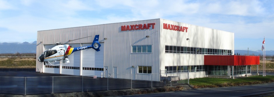
Want to learn more? Stop by Maxcraft for a demo of the Garmin Pilot and the “Connext” connected panel.
Maxcraft Avionics is a leader in airplane and helicopter avionic system upgrades, including installation of everything from basic VHF Radios and flight instruments, all the way to sophisticated GPS, TCAS, EFIS, and glass cockpit systems. We have the largest avionics facility in Canada and over 20,000 unique part numbers in our inventory to repair your aircraft or upgrade your cockpit.

